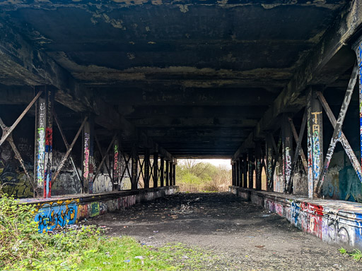
Hogarth Park Pyramid
A walk between Duke Street and Alexandra Parade stations.
For our walk at Duke Street station Rudy was taken in search of evidence of nearby railway lines that didn't survive the cuts of the 1960s & 1980s.
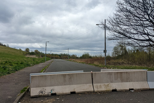
We found a lot of mess, a new ghost street in the making and a ziggurat style pyramid!

On satellite view maps it looked like we could walk the old railway line next to Appin Road despite it not being "official paths" but when we got there the old line has been filled in with rubble and now far too messy overgrown to walk.


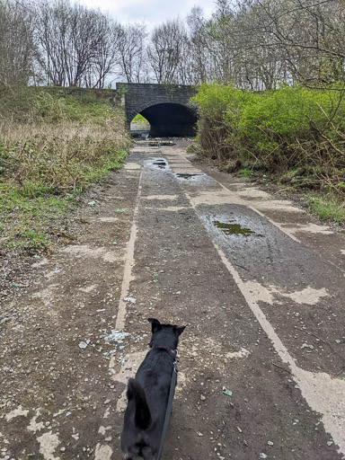
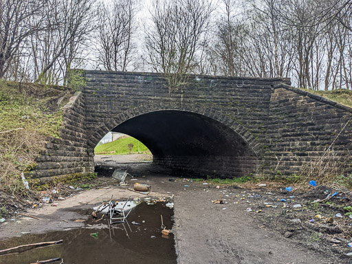
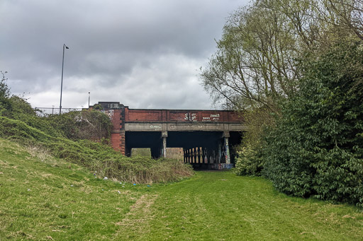
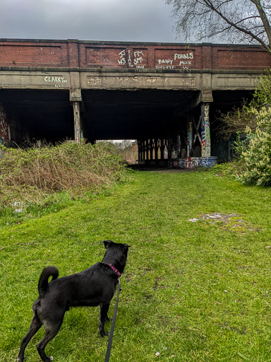
Appin Road and Bengairn Street themselves are now demolished and clearly on their way to becoming ghost streets. And the path under the old railway bridge near what was Parkhead Junction is very much a mess! Rudy wasn't impressed at all by this walk so far.

Things didn't get better for Rudy when I brought out the maps! This one I've drawn in red over the lost railway lines and Parkhead Station.

© OpenStreetMap contributors
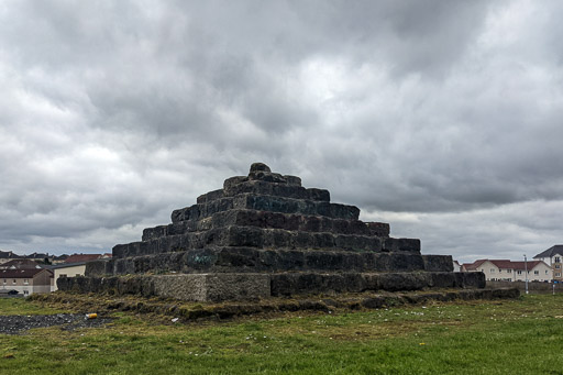
Hogarth Pyramid
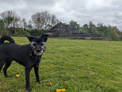
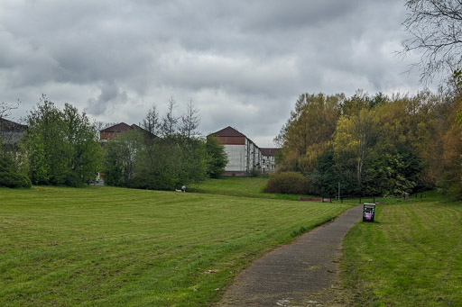
This was our real destination for this walk and at last Rudy got off-lead for a run around. Hogarth Park is a small local park on the site of the old railway embankment and has it's very own pyramid!


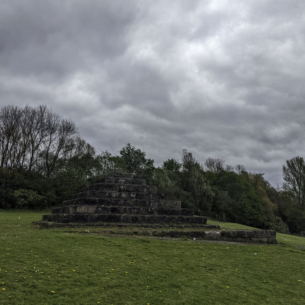

The Hogarth pyramid is built from stone blocks taken from the foundations of a dismantled railway bridge nearby. Another railway embankment wall was removed recently but sadly no second pyramid appeared.
The park itself seems nice for its size but is rather neglected.


At the North end of the park is the overbridge that carries the A80 Edinburgh Road across the remains of the track bed. Maybe one day the railway will triumph over roads again but it's not looking hopeful here!

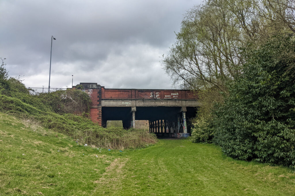


The railway line between Haghill Junction and Parkhead Junction closed in 1981 two years after the Parkhead Forge Works closed down. The line through what is now Hogarth Park was part of the "Glasgow Lines"known as the switchback.
