Dingwall Canal & River Peffery
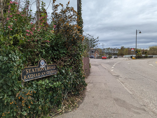
A walk at Dingwall train station.
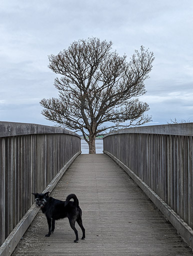
Rudy's walk from Dingwall station was quickly planned while already on the train but it wasn't difficult to choose a walk when there's good riverside paths clear on the map!

Dingwall Canal
The final stretch of the River Peffery was altered by 1819 to become the 1.1 mile Dingwall Canal. This allowed better access into the town for boats from the Cromarty Firth. The railway's arrival in 1863 as a quicker means of transport signalled the start of it's very quick decline into disuse.


Picnic Site
There's a picnic area where the Peffery meets the River Conan with views out towards the full Cromarty Firth. The sculpture commemorates the 1991 Dingwall Mod (a Scottish Gaelic Festival).


Inver-Peffery

The town name originates as an old Viking name for a council meeting place which is far grander than the original Scottish Gaelic name - Baile Chàil or "Cabbage Town". So much so that a modern alternate name of "Inver-Peffery" is now more commonly used where a tourist Gaelic translation is wanted.


