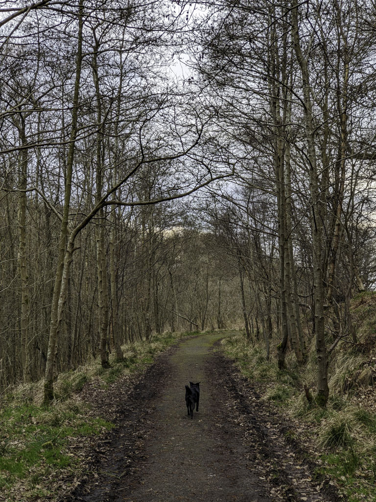
Luggie Glen
A walk between Kirkwood and Bargeddie stations.

Firstly, the Luggie Burn is not the Luggie Water. The Luggie Water runs through Cumbernauld into the River Kelvin. The Luggie Burn however spends most of it's journey hidden in culverts beneath Coatbridge until joining the North Calder Water. Secondly we're not going to attempt to explain the difference between rivers, waters and burns.
That's Not A Path
At the entrance to the Luggie Glen we were faced with a choice of paths. We took the low path thinking it would head closer to the water but turns out it quickly fades away. We definitely lost the route it continued on because we came to a surprise fence with only a very steep slope to climb our way out. (We could have turned back but adventurers aren't meant to turn back!)


Rudy thought we could keep going along the burn but he's part goat and I'm not. So a wee scramble back up to "civilisation" was needed!


Once we'd climbed our way out of the wilderness we discovered a good path - firm underfoot but not much used by the look of it. It stays quite far up the bank for a bit but winds down to a little (very dull & functional) bridge across the water.


The Luggie Burn
No one is gong to write poetry about the beauty of this wee stream anymore. This is the only real stretch that hasn't been built over and I suppose it's exactly what you'd expect from a neglected waterway. It'd be a great little spot if the council & community were motivated to look after it though :(


Despite everything, we enjoyed this walk. We only saw two other people using the path when we were there and it's probably that lack of common daily use that allows the neglect to continue. Every place we looked to sit for a picnic had far too much broken bottles, discarded beer cans & trash to ignore. There's nothing really to encourage investment at present but hopefully the local community gets a better impression that our overcast visit!