Dumbarton Rock & Castle
A walk between Dumbarton East and Dumbarton Central stations.
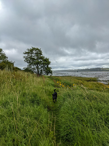
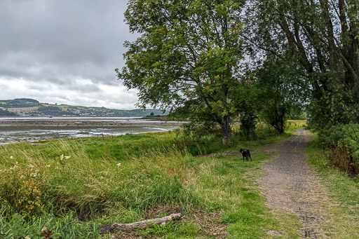
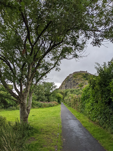
From Dumbarton East, Rudy walked down to the Firth of Clyde shore and then along to Dumbarton Rock. It's twice the distance of going direct 10 minutes along streets but a much nicer walk.


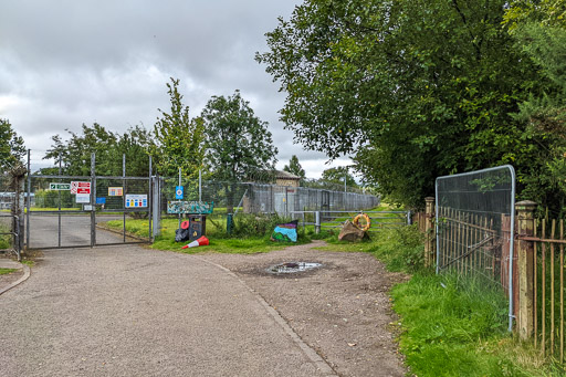
The end of Castlegreen Street doesn't look too appealing but it soon opens out into a shore-side park, Rudy was very keen to get along to the nice bit as he could probably smell all the grass, open space and river!
Dumbarton Rock
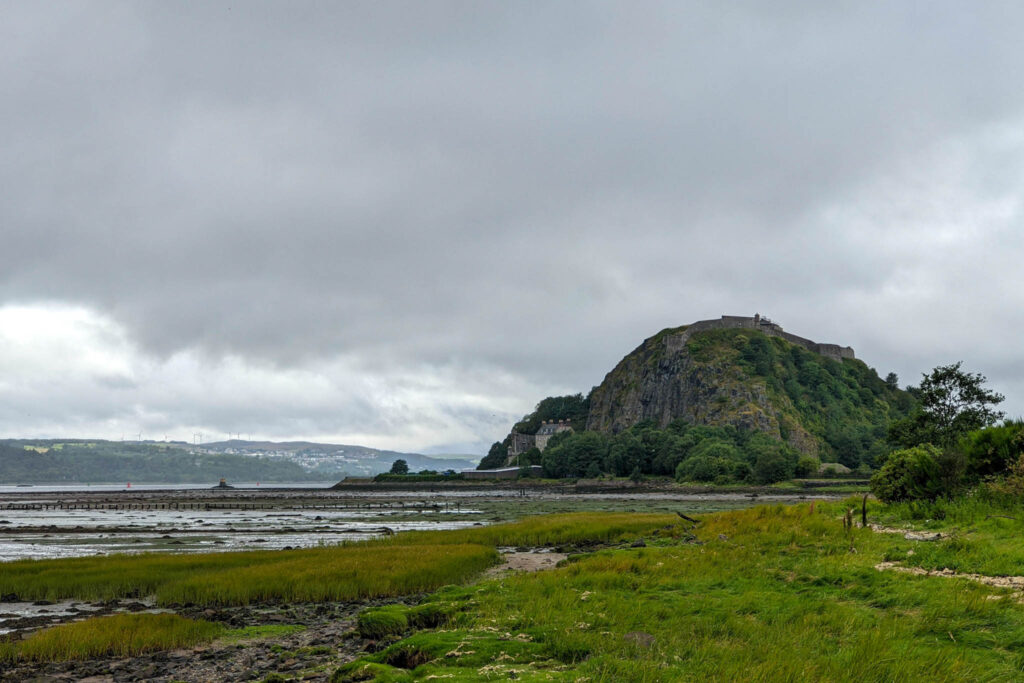
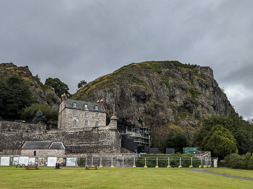
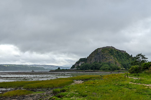
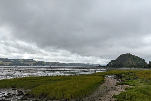
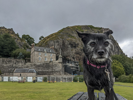
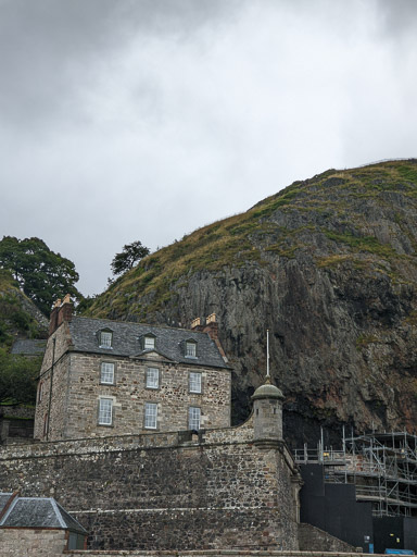
Dumbarton Rock is one of the most readily identifiable landmarks on the Firth of Clyde. A 240 feet (73m) high plug of volcanic basalt where the River Leven joins the Clyde.

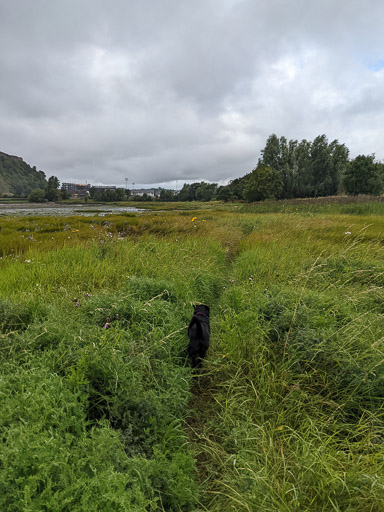
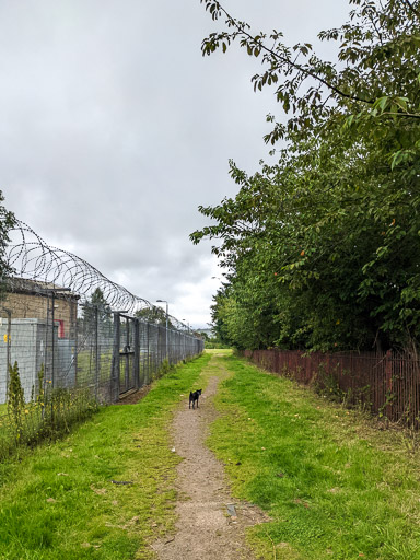
The paths along the shore are fairly informal but still clear to follow even in all the summer growth. Rudy did plenty of running ahead to path find though and there are firmer tracks further back from the water.
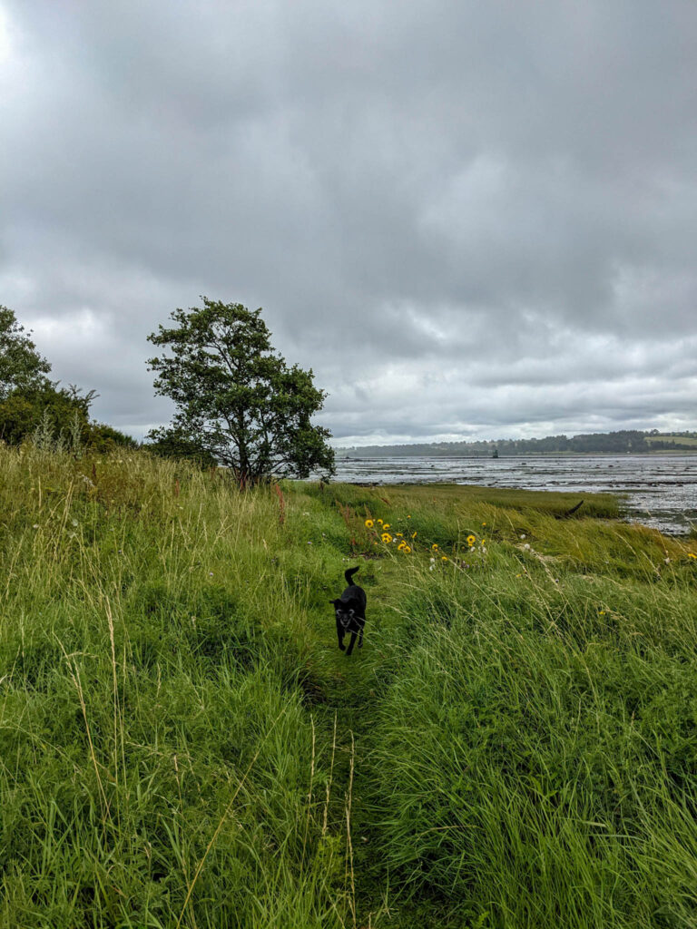
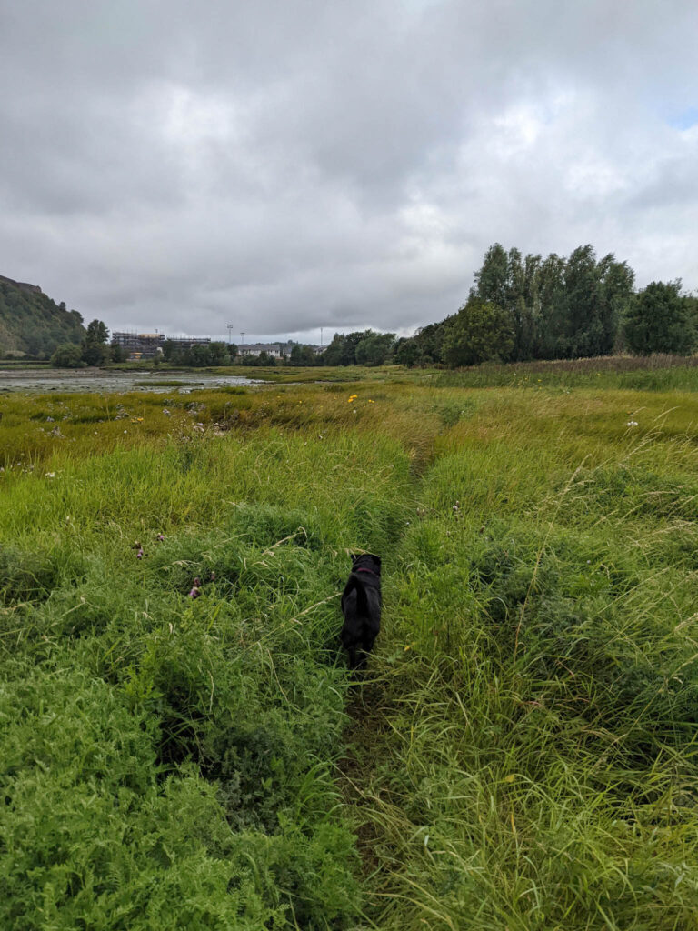
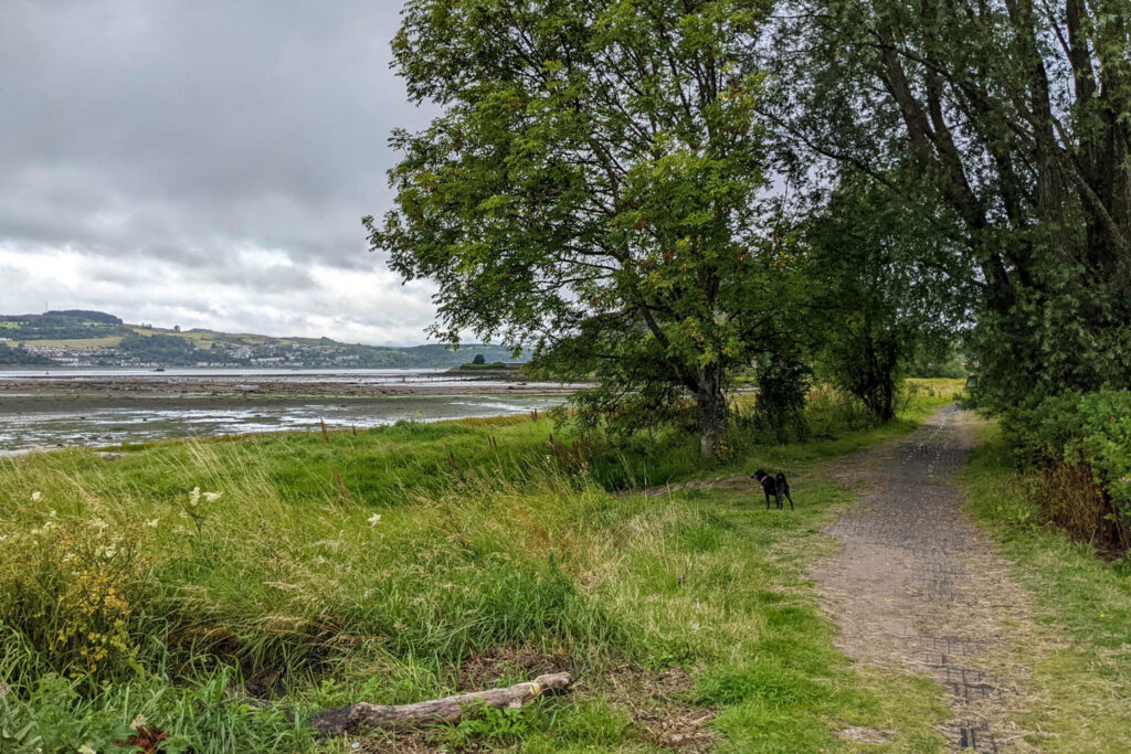
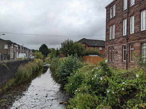
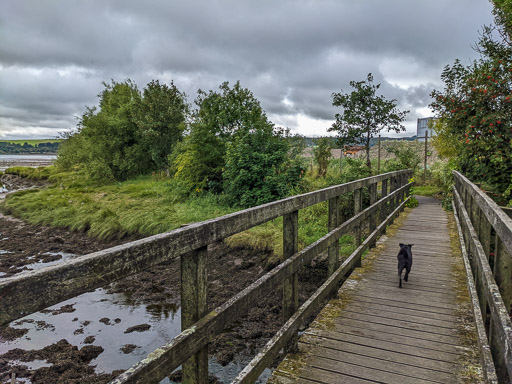
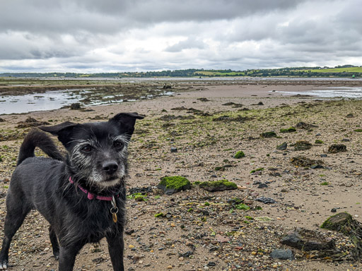
The Clyde is tidal here so the shoreline is kind of messy and vague but once we'd crossed the Overtoun Burn bridge we found a good spot for Rudy to at least say he'd been to the beach today.
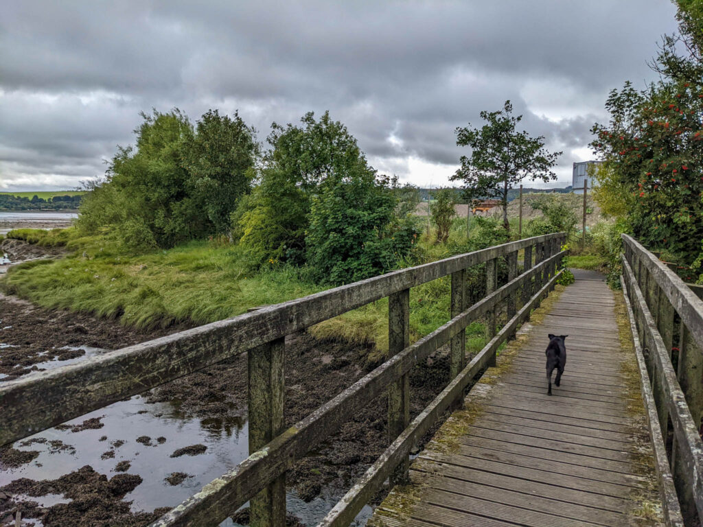
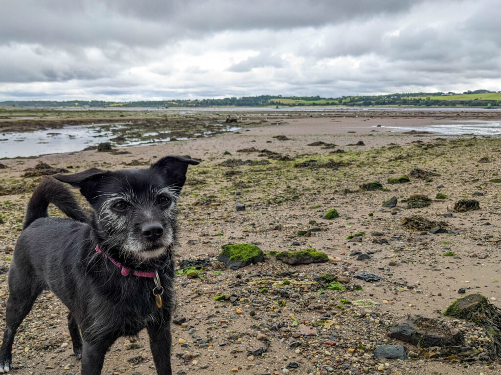
The path from here onward is proper tarmac and Rudy figured the more adventure explorer part of this walk was finished and wanted to go back to his running in the "wilderness"!

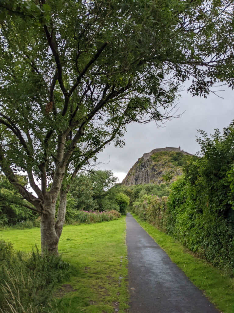
Dumbarton Castle
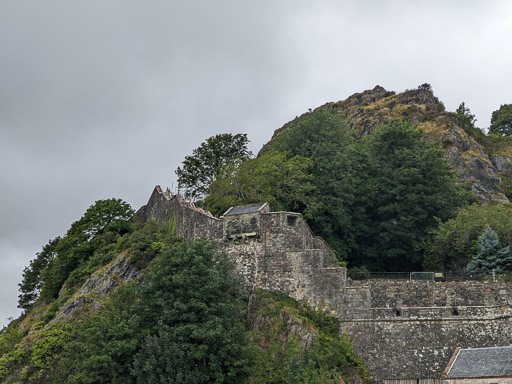
The castle today is a 1600 and 1700s garrison but there has been a castle here since medieval times and the rock was used as a fortress throughout the Dark Ages. It was importnat in the defence of mainland Scotland against the Vikings of Norway who ruled over the Hebrides and islands of the Clyde.
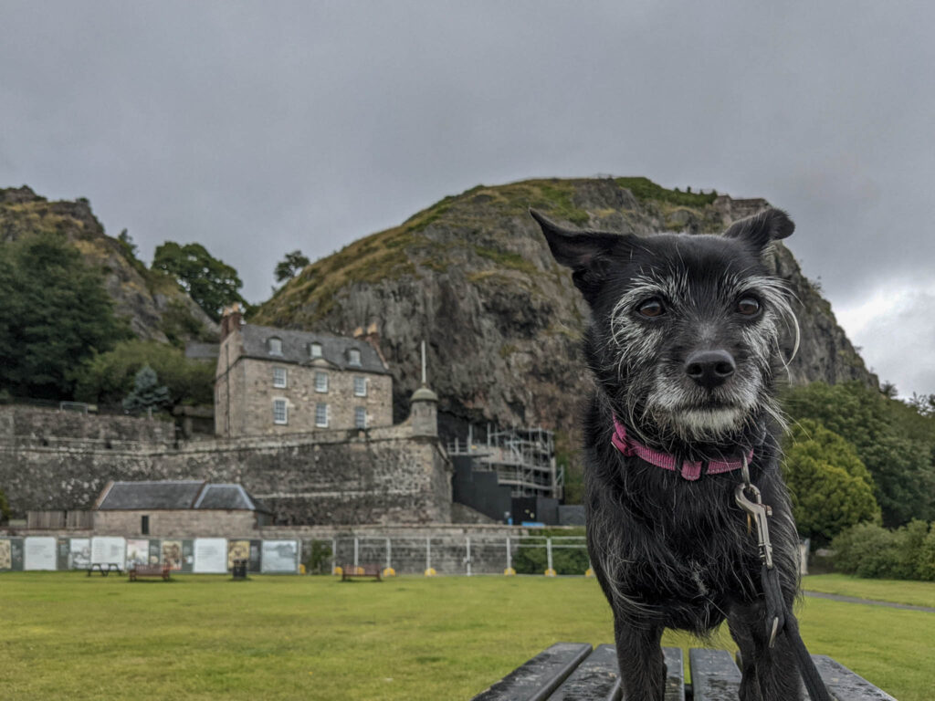
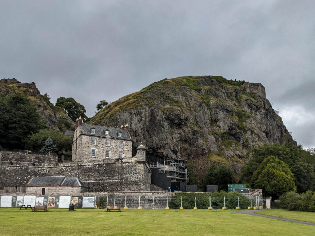
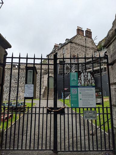
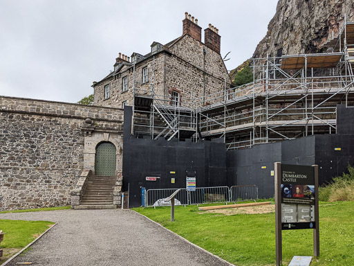
Dumbarton Rock and Castle are looked after by Historic Environment Scotland but due to safety concerns about high masonry it's been closed to visitors for some time now.
You can read more about the history of the site at https://www.historicenvironment.scot/visit-a-place/places/dumbarton-castle/history/

