Dunbeth Moss & Kipps Way
A walk between Coatdyke and Coatbridge Sunnyside stations.
Dunbeth Moss
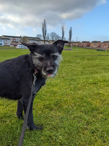
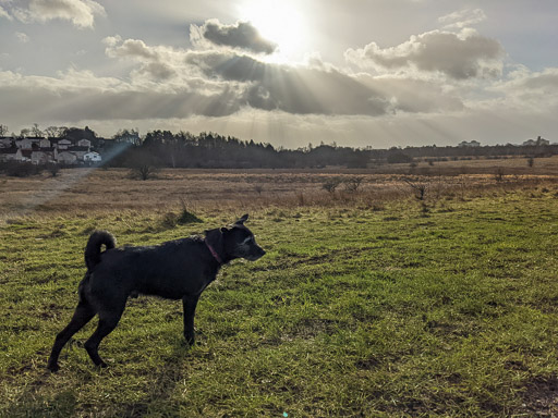
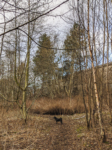
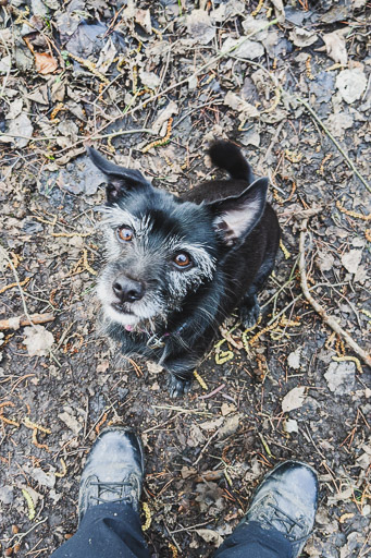
Rudy loves open semi-wild spaces like Dunbeth Moss and he started running & jumping through the dry grass as soon as he was off lead here. We spent an hour wandering around and only explored a small part of what we could have.
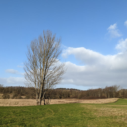
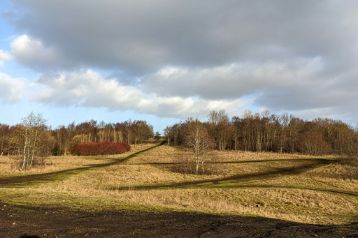
"Dunbeth Moss" probably more rightly applies only to the lower (more often marshy) ground lying along the railway line with most of what Rudy explored being wasteland between long abandoned industrial sites. We think there's over 100 acres (75 football fields!) of varying informal open space here.
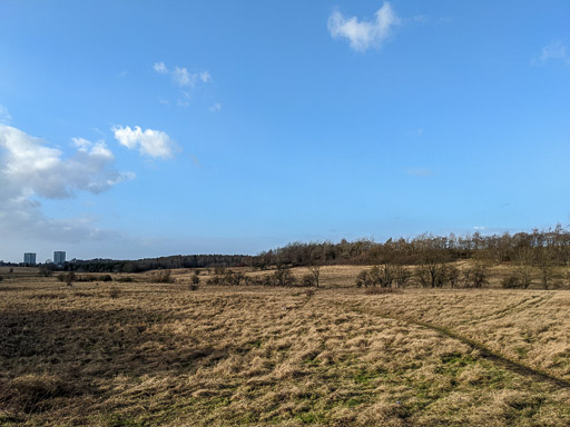
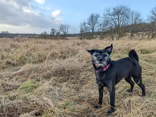
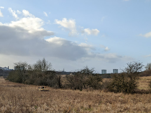
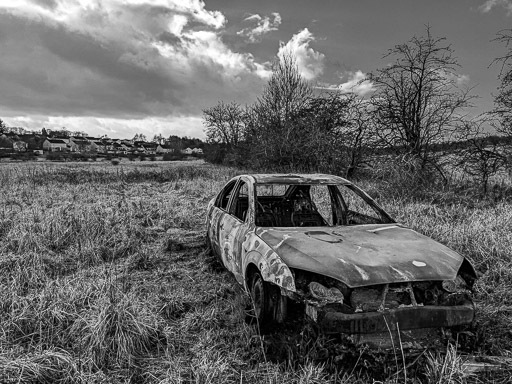
Despite being a long abandoned industrial site and apart from the one rusty car we didn't notice any real hazards underfoot except for the uneven terrain when we lost the vague path we'd chosen. Hardly any litter for a mostly unmanaged space and with no sign of any larger wildlife on a very windy January afternoon we had a fantastic dog walk!
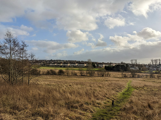
Miners Walk & Kipps Way
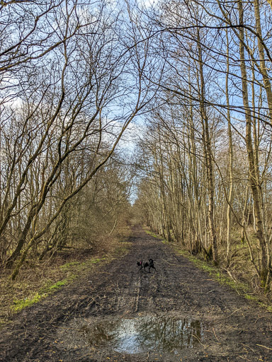
The main path along the top of Dunbeth Moss is laid over an old railway line. We had to dodge around a couple of muddy sections but out from under the trees it was drier and lots more fun even on a windy day.

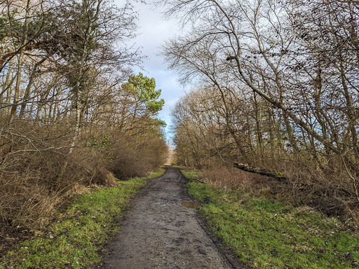
Kipps Junction was part of the Slamannan section of the Monklands Railways which served much of North Lanarkshire's industrial works. Even in the area we walked old maps show a gas works, iron & steel works, a brick works, a locomotive works and of course lots of railway.

Three Burn Maggie's Walk
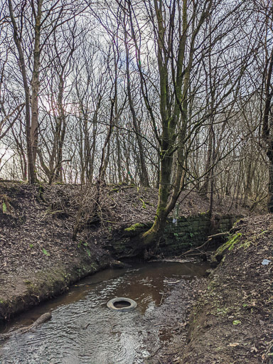
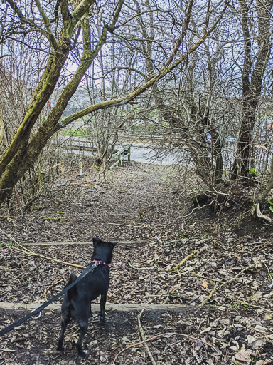
(We're not certain where the name's for these paths come from, only google maps names them!)We took a slight detour towards the end of this walk to investigate this waste ground path sandwiched between a mucky burn and the back of industrial units.
After taking a silly wrong turn at the very end of our adventure we missed out visiting the formal Dunbeth Public Park for our picnic and ended up instead at the much smaller Kipps Park half a mile away, time to head home Rudy?
